
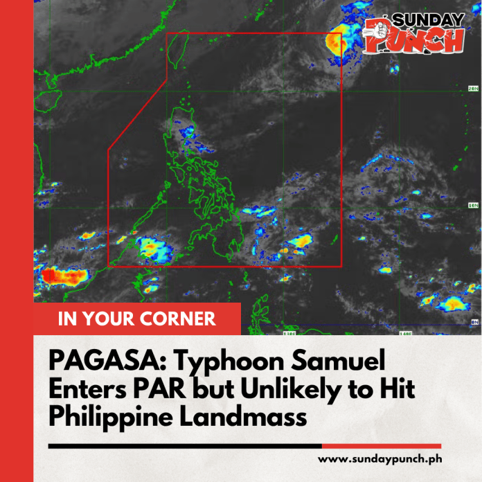
Typhoon Cempaka has officially entered the Philippine Area of Responsibility (PAR) and has been assigned the local name Samuel, according to PAGASA’s tropical cyclone bulletin issued at 11 a.m. on November 9, 2026.
The weather bureau located the storm approximately 1,370 kilometers east-northeast of extreme Northern Luzon, packing maximum sustained winds of 120 kilometers per hour and gusts reaching 150 kilometers per hour. Despite its typhoon strength, Samuel is not expected to make landfall or directly affect weather conditions in the Philippines, with PAGASA forecasting that it could leave PAR between Monday night and early Tuesday morning.
However, the absence of a direct typhoon threat does not mean the country will be free from bad weather. The northeast monsoon, locally known as amihan, and easterlies are bringing rain to several areas of Luzon and Mindanao. PAGASA warned that moderate to occasionally heavy rainfall could trigger flash floods and landslides in vulnerable communities, particularly in parts of Northern Luzon, Bicol, Caraga, and the Davao Region.
Sea conditions also remain a concern, especially for coastal communities and fishermen. The northeast monsoon is expected to generate strong winds and dangerous waves along several coastlines, with seas reaching up to 5.5 meters near northern Batanes. PAGASA has advised vessels to avoid hazardous waters, while operators of small fishing boats and motorbancas are urged to exercise extreme caution.
For Filipinos, the important distinction is clear: Samuel may stay far from land, but other weather systems can still bring dangerous conditions. Residents in flood-prone and landslide-prone areas should continue monitoring official PAGASA bulletins, follow local government advisories, and avoid unnecessary sea travel when rough conditions are forecast.
Image from PAGASA