The low pressure area (LPA) outside the Philippine Area of Responsibility (PAR) is unlikely to develop into a cyclone in the next 24 hours but its trough will bring rains in some areas in the country, the weather bureau said Wednesday.
“We are monitoring the LPA over the West Philippine Sea, outside PAR. This will continue moving away from the country and could possibly dissipate in the next 24 hours,” Philippine Atmospheric, Geophysical and Astronomical Services Administration (PAGASA) forecaster Benison Estareja said.
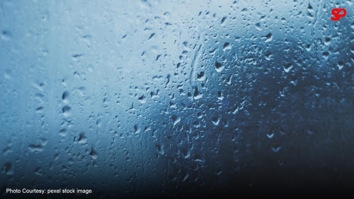
However, the LPA’s trough will cause scattered rains and thunderstorms across Zamboanga Peninsula, Western Visayas, Negros Island Region, Basilan, Sulu, Tawi-Tawi, Palawan, Occidental Mindoro, Oriental Mindoro, and Romblon.
Scattered rains and thunderstorms are also forecast in Batanes and Babuyan Islands due to the frontal system affecting extreme Northern Luzon.
PAGASA said moderate to heavy rains in these areas could result in flash floods or landslides.
Metro Manila and the rest of the country will experience isolated rain showers or thunderstorms due to the easterlies.
Moderate winds and moderate seas still prevail across extreme Northern Luzon.
Elsewhere, winds will be light to moderate with slight to moderate seas.
Meanwhile, over 20 areas are forecast to experience “danger level” heat index.
The heat index is to peak at 45°C in Butuan City, Agusan del Norte, and 44°C in Laoag City, Ilocos Norte; Dagupan City, Pangasinan; Masbate City, Masbate; and Basco, Batanes.
A 43°C heat index is expected in these areas:
MMSU, Batac, Ilocos Norte
Bacnotan, La Union
CBSUA-Pili, Camarines Sur
Catarman, Northern Samar
Dipolog, Zamboanga del Norte
The heat index could peak at 42°C in the following:
NAIA
Sinait, Ilocos Sur
NVSU, Bayombong, Nueva Vizcaya
ISU, Echague, Isabela
Baler, Aurora
Iba, Zambales
Daet, Camarines Norte
Legazpi City, Albay
Virac, Catanduanes
Juban, Sorsogon
Zamboanga City, Zamboanga del Sur
Hinatuan, Surigao del Sur
Heat index refers to the temperature felt by the human body when relative humidity is factored in with actual air temperature.
Under “danger” level conditions, ranging from 42°C to 51°C, the public is warned of increased risks of heat cramps, heat exhaustion, and heat stroke with prolonged exposure.